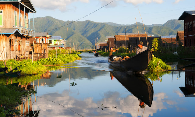
President: Joko Widodo (2014)
Land area: 699,548 sq mi (1,811,831 sq km); total area: 741,096 sq mi (1,919,440 sq km)
Population (2014 est.): 253,609,643 (growth rate: 0.95%); birth rate: 17.04/1000; infant mortality rate: 25.16/1000; life expectancy: 72.17
Capital and largest city (2011 est.): Jakarta, 9.769 million
Other large cities: Surabaya 2.787 million; Bandung 2.429 million; Medan 2.118 million; Semarang 1.573 million; Palembang 1.455 million
Monetary unit: Rupiah
Indonesia is an archipelago in Southeast Asia consisting of 17,000 islands (6,000 inhabited) and straddling the equator. The largest islands are Sumatra, Java (the most populous), Bali, Kalimantan (Indonesia's part of Borneo), Sulawesi (Celebes), the Nusa Tenggara islands, the Moluccas Islands, and Irian Jaya (also called West Papua), the western part of New Guinea. Its neighbor to the north is Malaysia and to the east is Papua New Guinea.
Indonesia, part of the “ring of fire,” has the largest number of active volcanoes in the world. Earthquakes are frequent. Wallace's line, a zoological demarcation between Asian and Australian flora and fauna, divides Indonesia.
The 17,000 islands that make up Indonesia were home to a diversity of cultures and indigenous beliefs when the islands came under the influence of Hindu priests and traders in the first and second centuries A.D. Muslim invasions began in the 13th century, and most of the archipelago had converted to Islam by the 15th century. Portuguese traders arrived early in the next century but were ousted by the Dutch around 1595. The Dutch United East India Company established posts on the island of Java, in an effort to control the spice trade.
After Napoléon subjugated the Netherlands in 1811, the British seized the islands but returned them to the Dutch in 1816. In 1922, Indonesia was made an integral part of the Dutch kingdom. During World War II, Japan seized the islands. Tokyo was primarily interested in Indonesia's oil, which was vital to the war effort, and tolerated fledgling nationalists such as Sukarno and Mohammed Hatta. After Japan's surrender, Sukarno and Hatta proclaimed Indonesian independence on Aug. 17, 1945. Allied troops, mostly British Indian forces, fought nationalist militias to reassert the prewar status quo until the arrival of Dutch troops.
Tags: Indonesia,Indonesia beautifull country,Indonesia cities,Indonesia info,Indonesia country information,Indonesia visitors,Indonesia whole country pictures,Indonesia


